
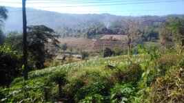
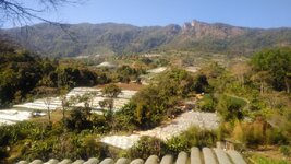
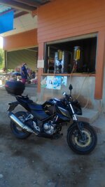
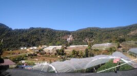
While the body and the bike are still fit to travel I am catching up with some places I have not see despite over 30 years here. I'm also making the most of the clear cold season and getting a few trips in before the smoke gets too much. Hence on Feb
Thank you for using Golden Triangle Rider, we hope you are enjoying the content.
Thank you for using Golden Triangle Rider, we hope you are enjoying the content.
You have used up your 5 free weekly views of Trip Reports and Recommendations.
To continue getting full access to the thousands of informative Tips and Trip Reports on GTR please register and upgrade your status on Golden Triangle Rider.
Attachments
-
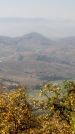
 P_20210203_092529.jpg192.6 KB · Views: 328
 -
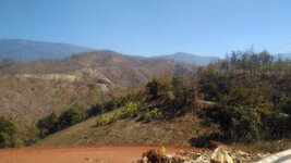
 P_20210203_101705.jpg207 KB · Views: 331
 -
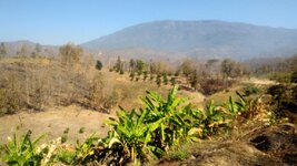
 P_20210203_095119.jpg120.7 KB · Views: 336
 -
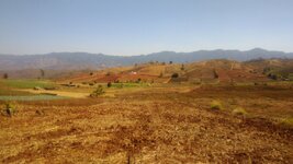
 P_20210203_104604.jpg138.1 KB · Views: 313
 -
 P_20210203_112040_HDR.jpg138.5 KB · Views: 323
 -
 P_20210203_113340_HDR.jpg159.9 KB · Views: 322
 -
 P_20210203_114911.jpg131.8 KB · Views: 343
 -
 P_20210203_122859.jpg137.4 KB · Views: 317
 -
 P_20210203_135615.jpg104.9 KB · Views: 310
