
Short trips on the CB500x in my local area
- Thread starter Wayne66
- Start date
You are using an out of date browser. It may not display this or other websites correctly.
You should upgrade or use an alternative browser.
You should upgrade or use an alternative browser.

Right now it's wet and dry and wet and...... 555. Sometimes it makes no sense in wearing rain protection as after 2 kms it's again bonedry and one's riding gear is dry after a short blast. Luckily we have a very warm climate to do this, wouldn't dare to do this in our countries of birth.
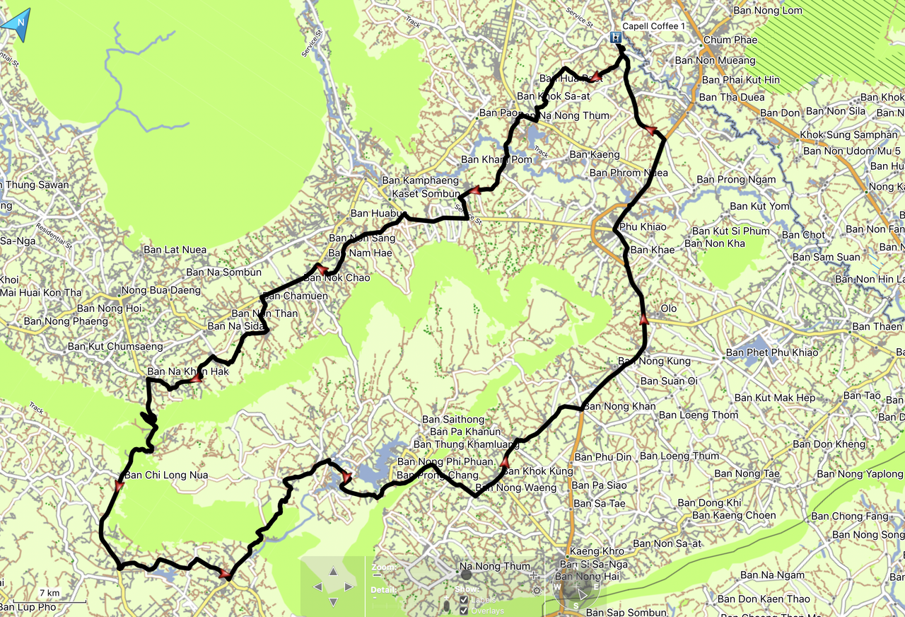
A day out exploring 21/02/26
It’s been a while since I have been out on the bike due to me going back to work and I had a lot of stuff to do at home so there was no time for a few days out. I had to make do with a day trip.
I also wanted to try out my new Knox MEN’S URBANE PRO® TROUSERS MK2 to see how they faired in the hot weather.
The issue was where to go? I have done the decent bigger roads in my local area so I needed to find roads which I had not been on and not seen too long on roads I have previously been on.
I had worked out a rough route putting in some waypoints then it was a make it up as I went along and see what happens.
It wasn’t too bad a ride and time spent on the roads I had done previously was kept to a minimum.
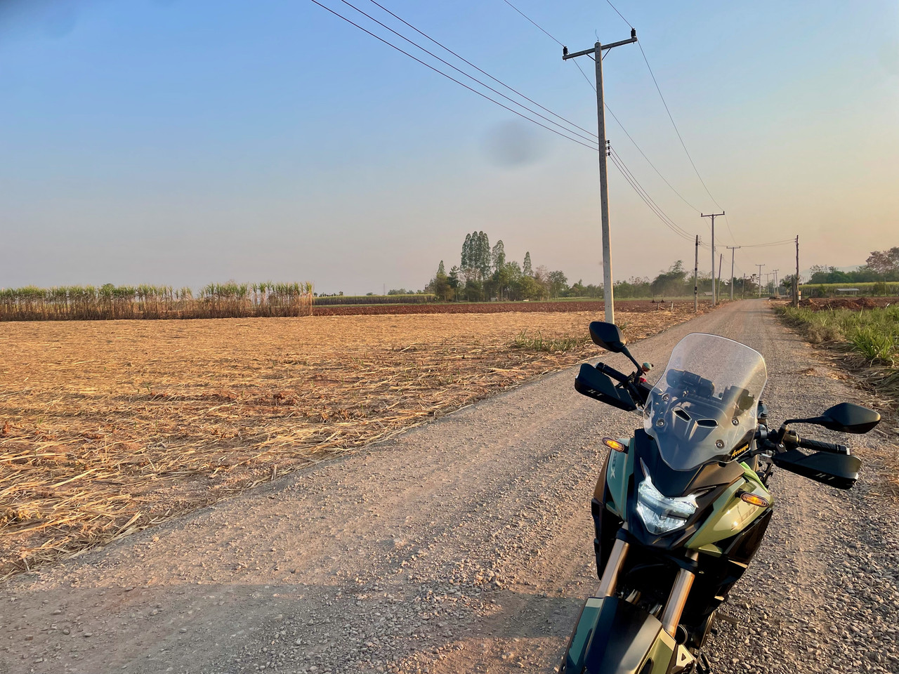
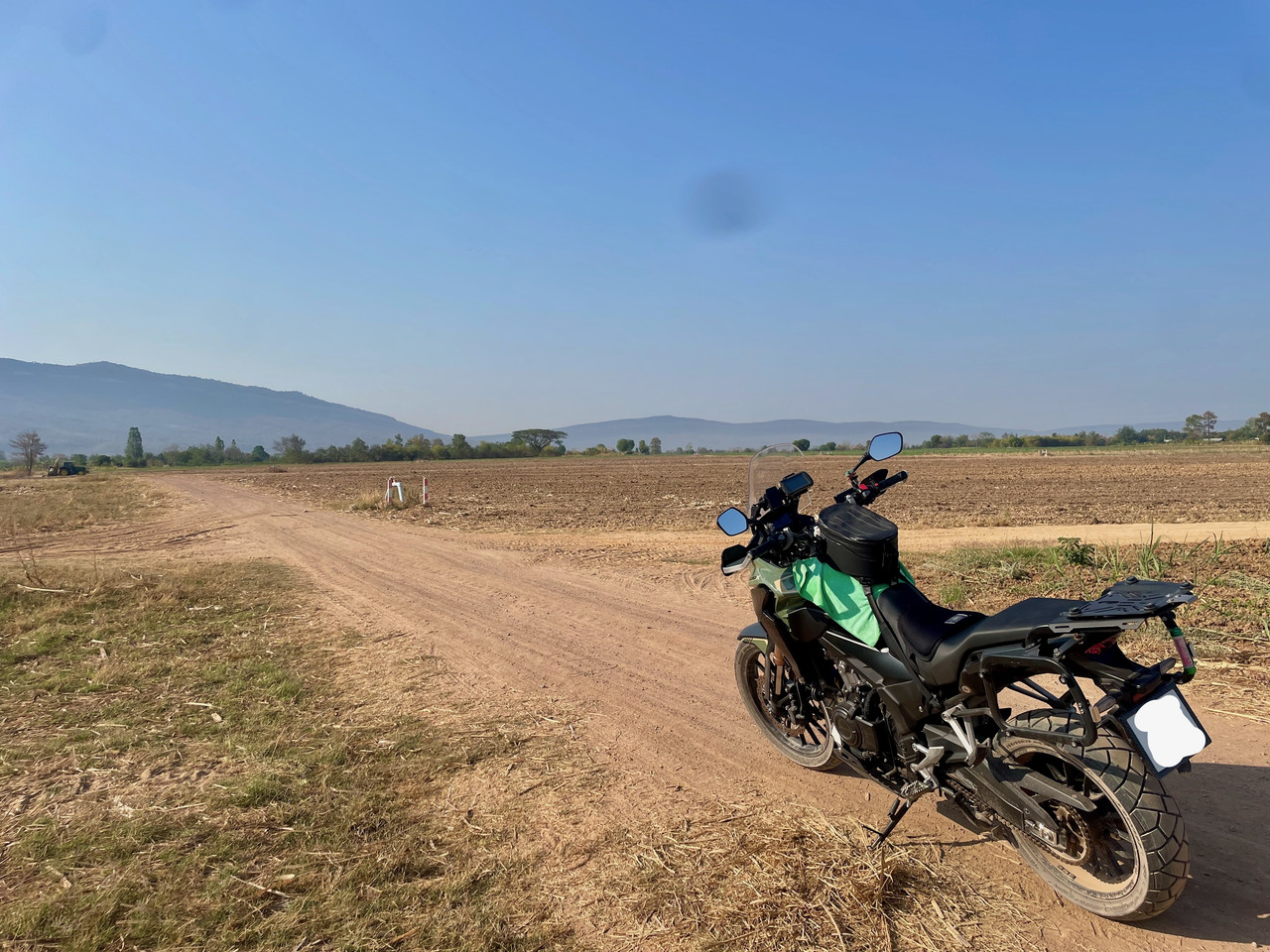
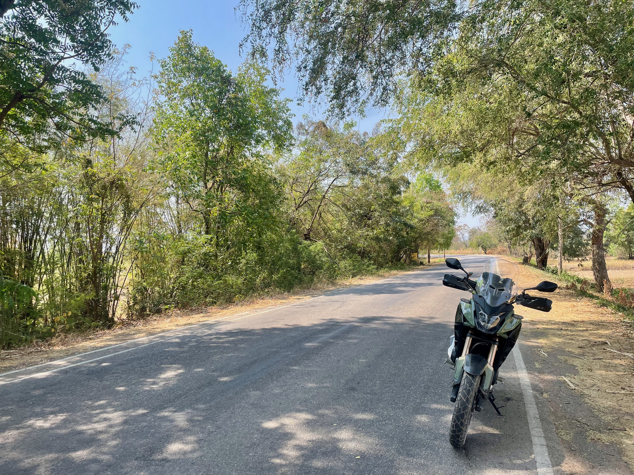
There was a road out of the village which I had not taken before and I wanted to see where it went, I am not sure if the road had a name as I cannot find one
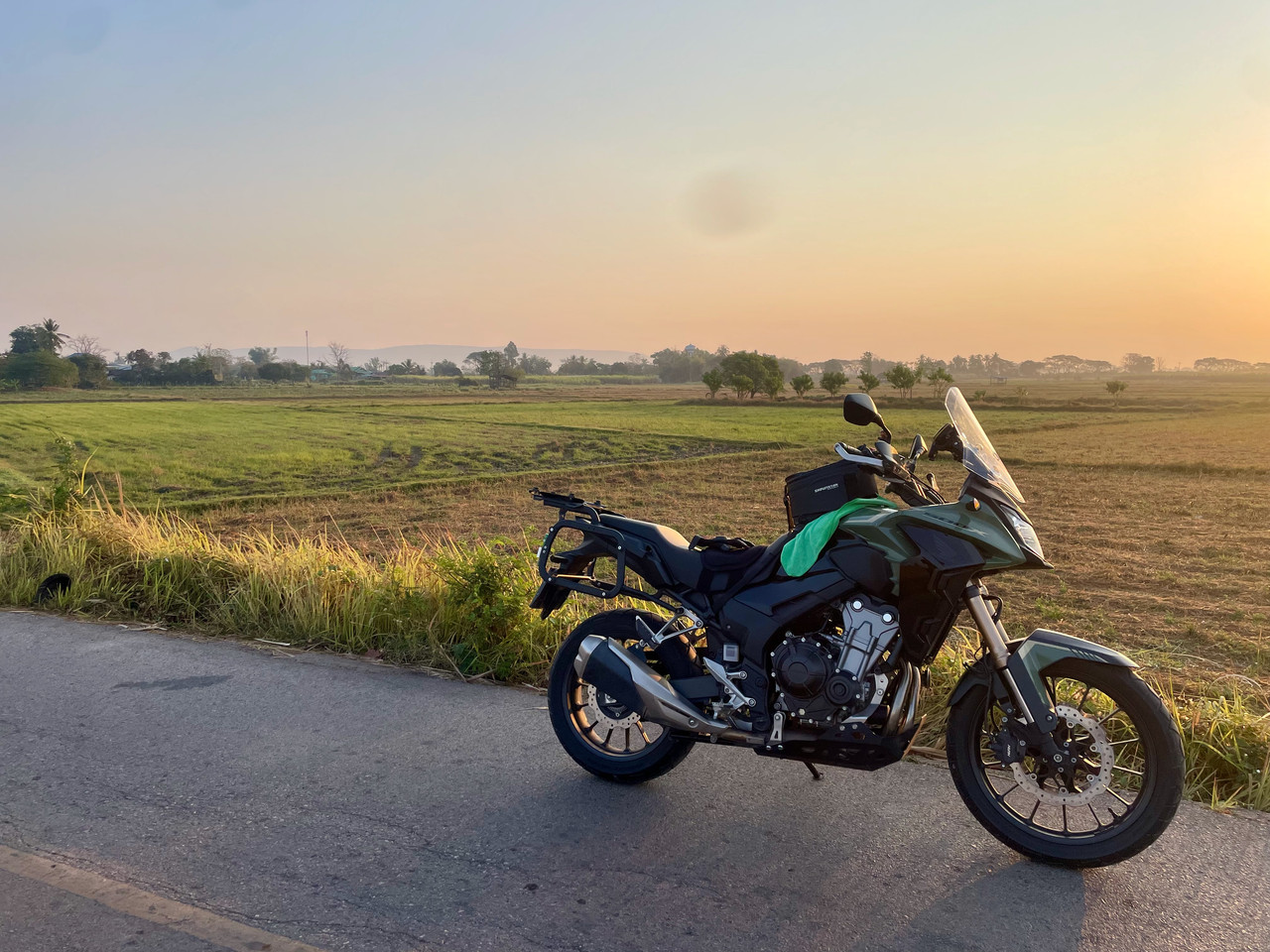
Just outside the village on a un-named road
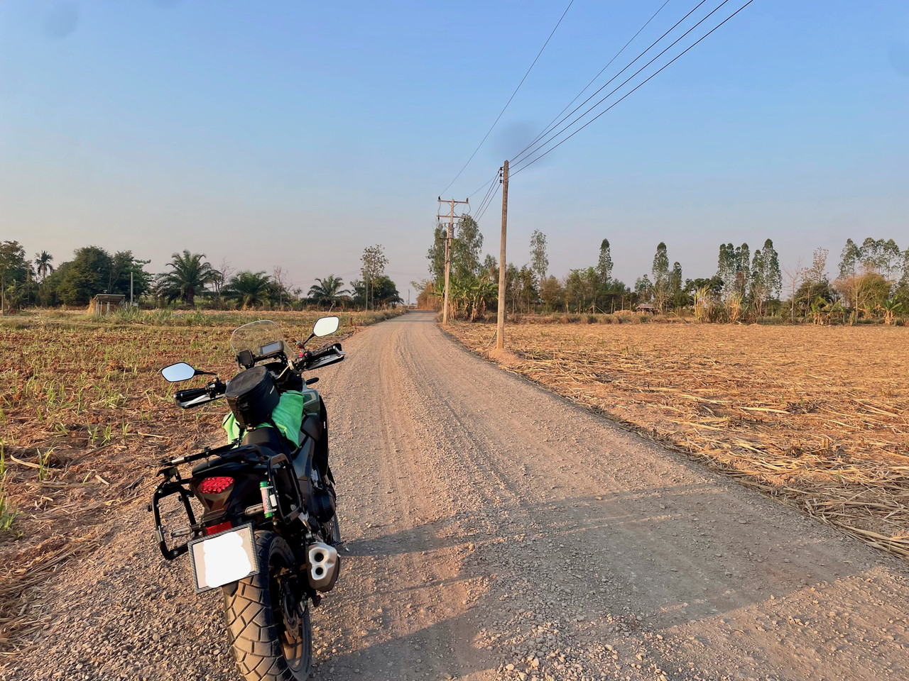
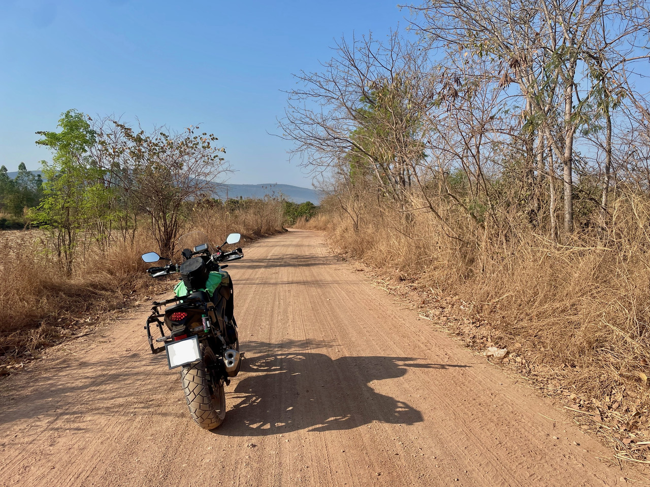
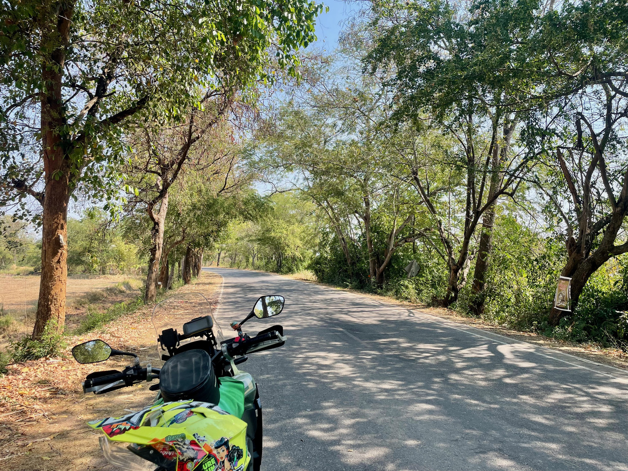
So, through the village and a right turn, 4k’s out of the village the road went from being good to then shale and stone although I was still down as a minor road. But it wasn’t hard going. I did end up being chased by 3 dogs who thought it would be good to give me a run for my money. Fortunately I had seen them and was ready, they kept up the chase for a good few hundred meters, I was happy they got tired before my bike did!
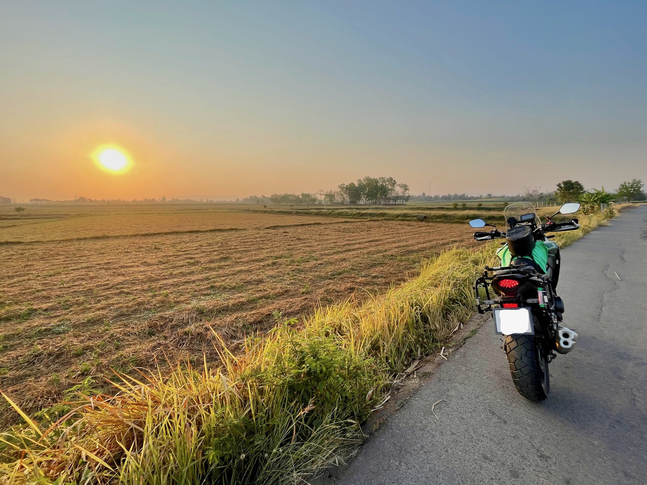
Just before I got chased by the dogs
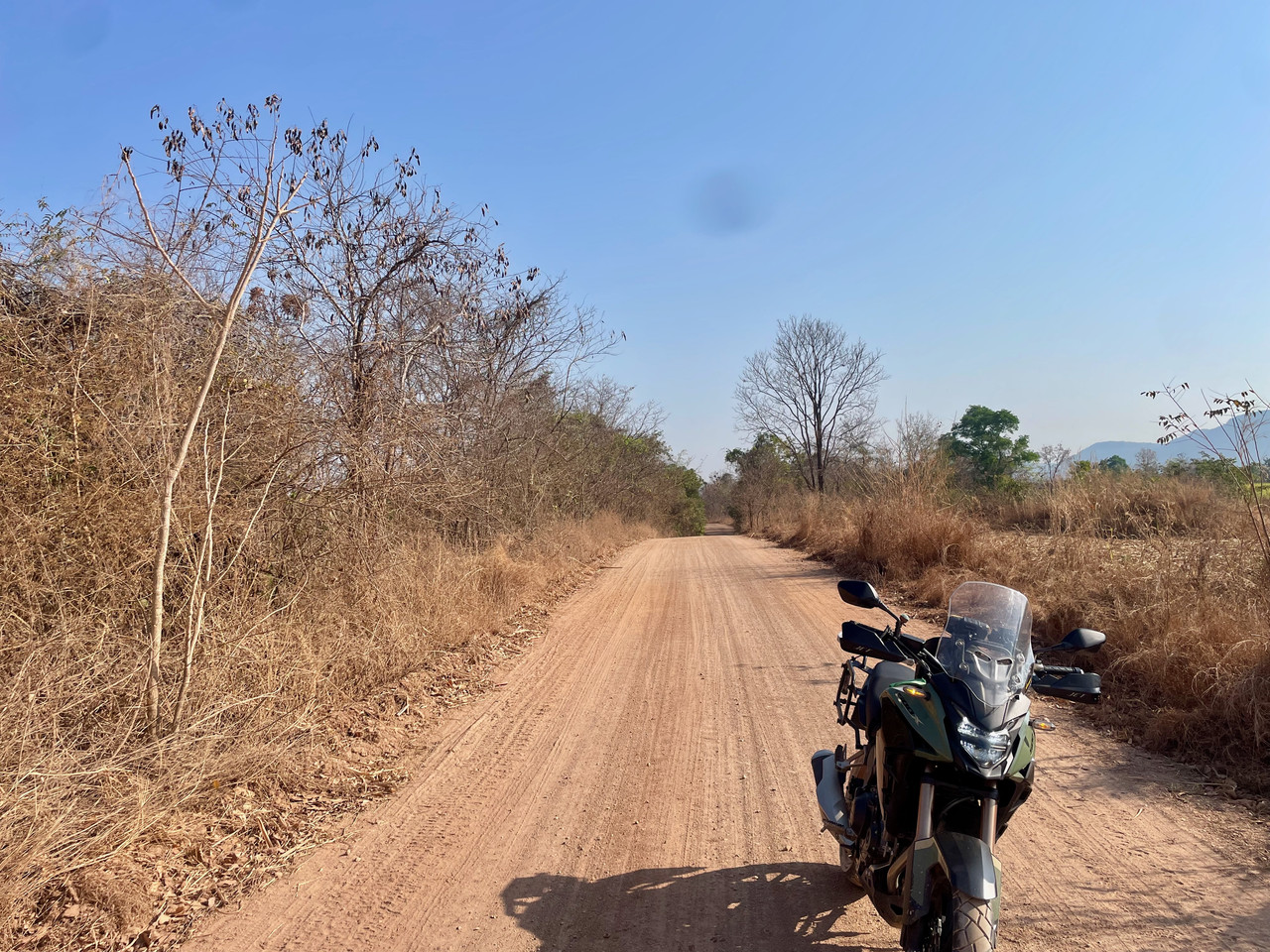
Ban Duea area, Chaiyaphum, Thailand

The harvested Sugar Cane Crop, Ban Duea, Chaiyaphum, Thailand
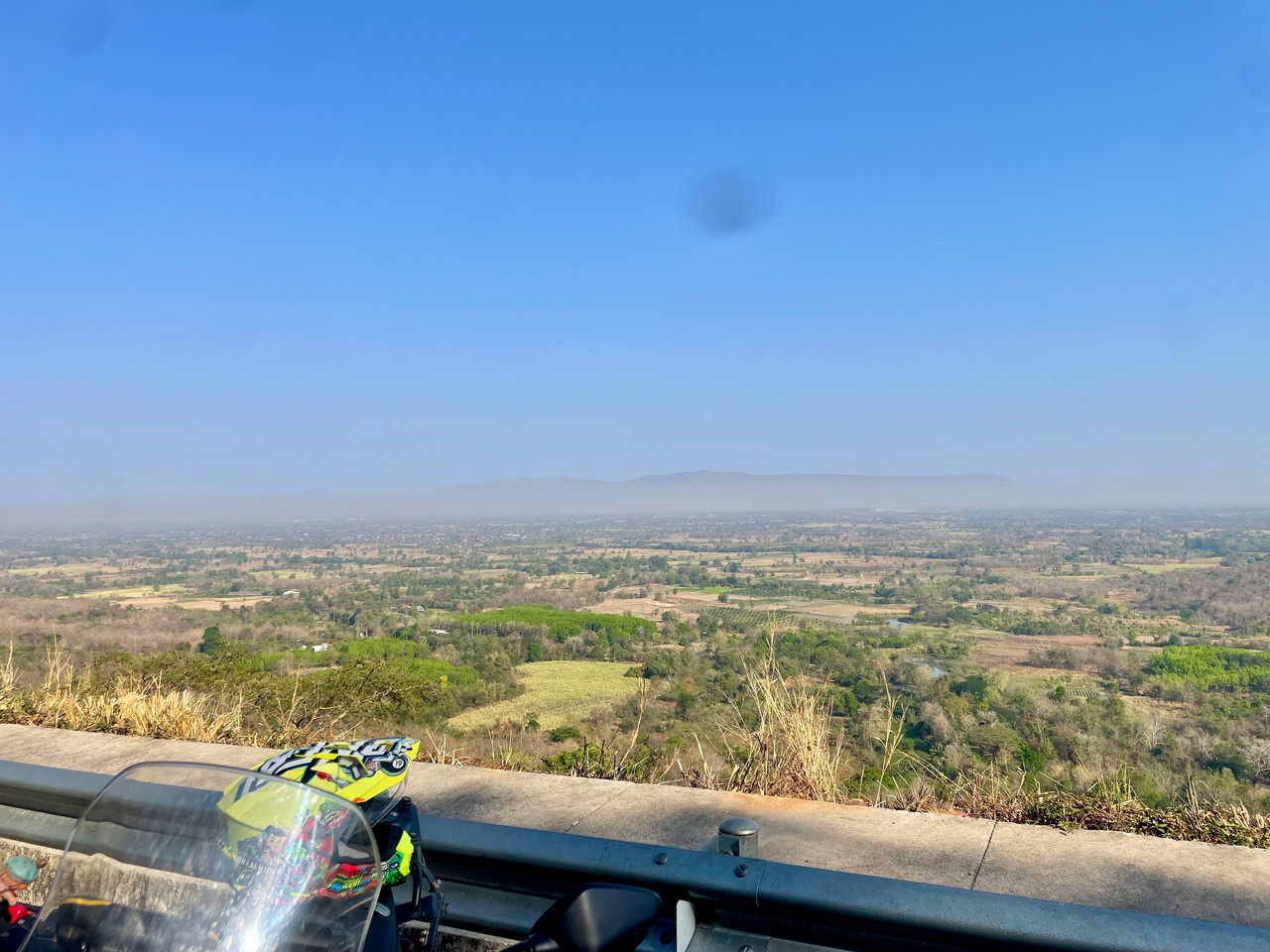
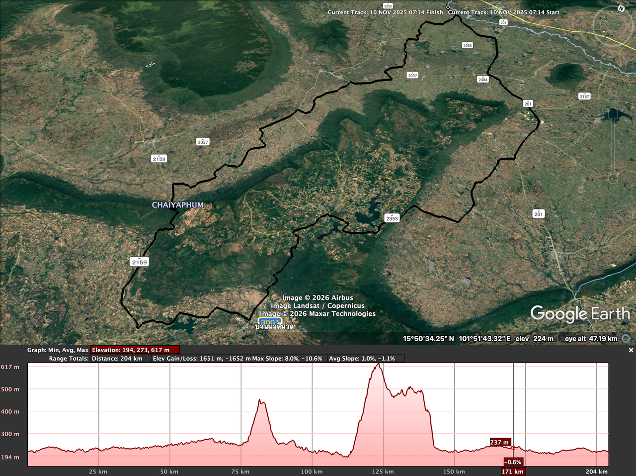
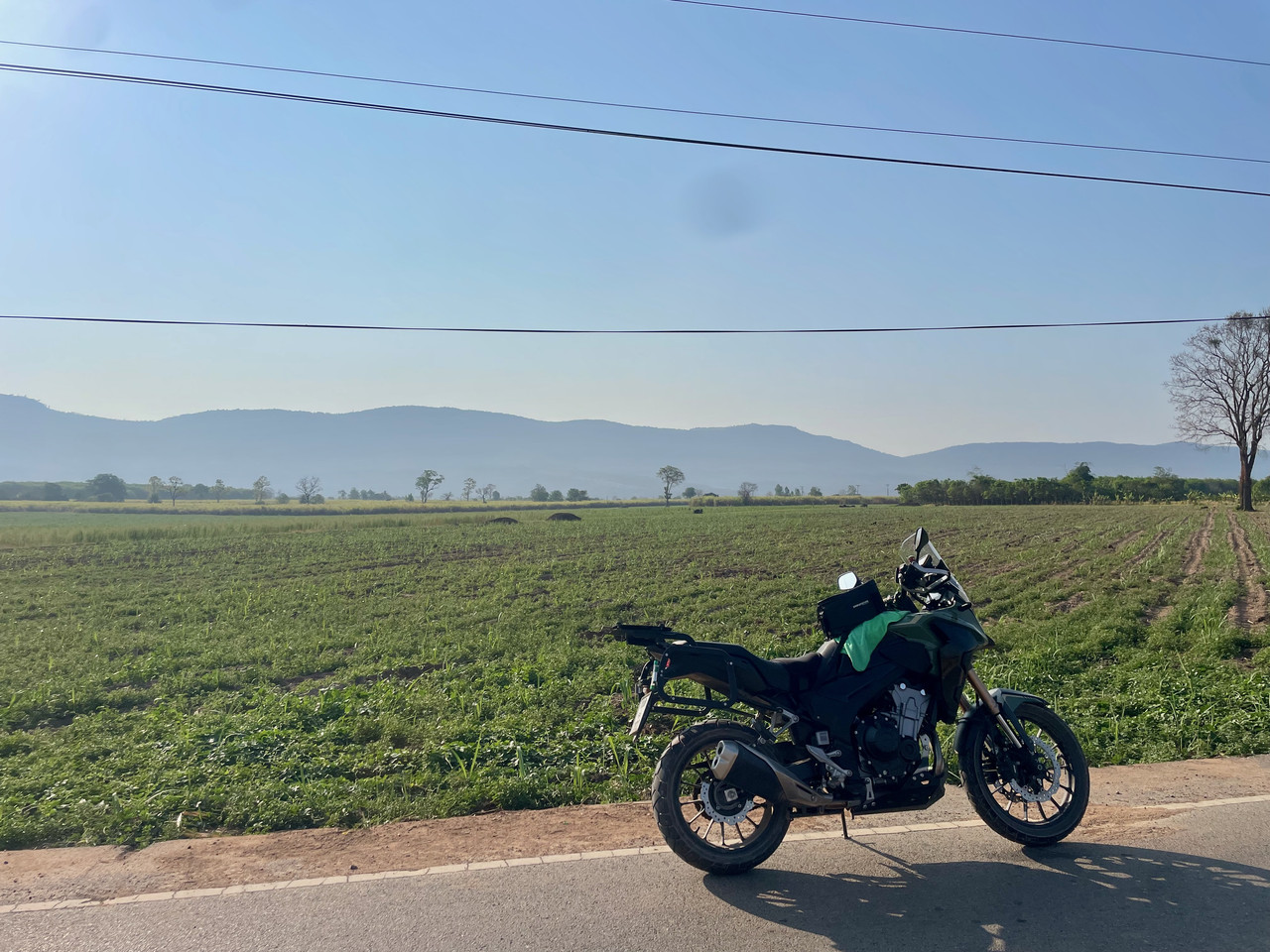
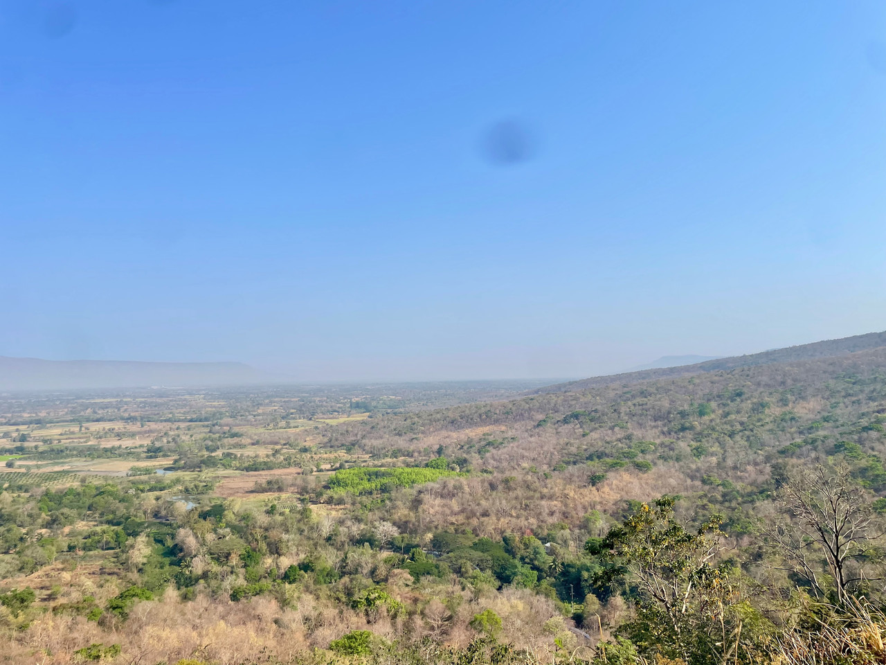
The view wasn't the best but passable, on the 2159, Phu Lan Kha National Park, Nong Bua Daeng District, Chaiyaphum, Thailand
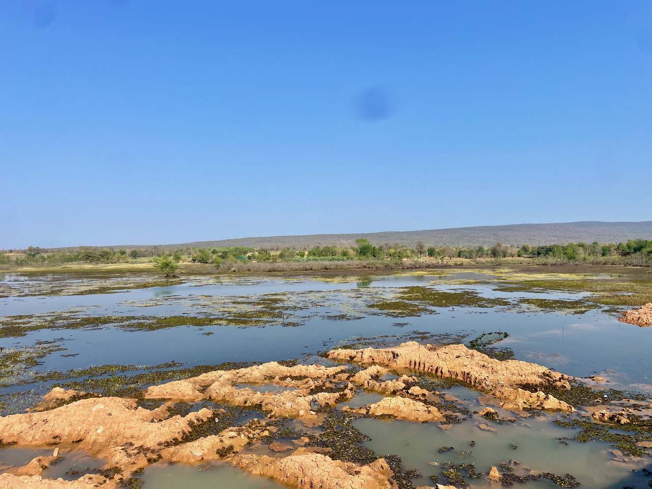
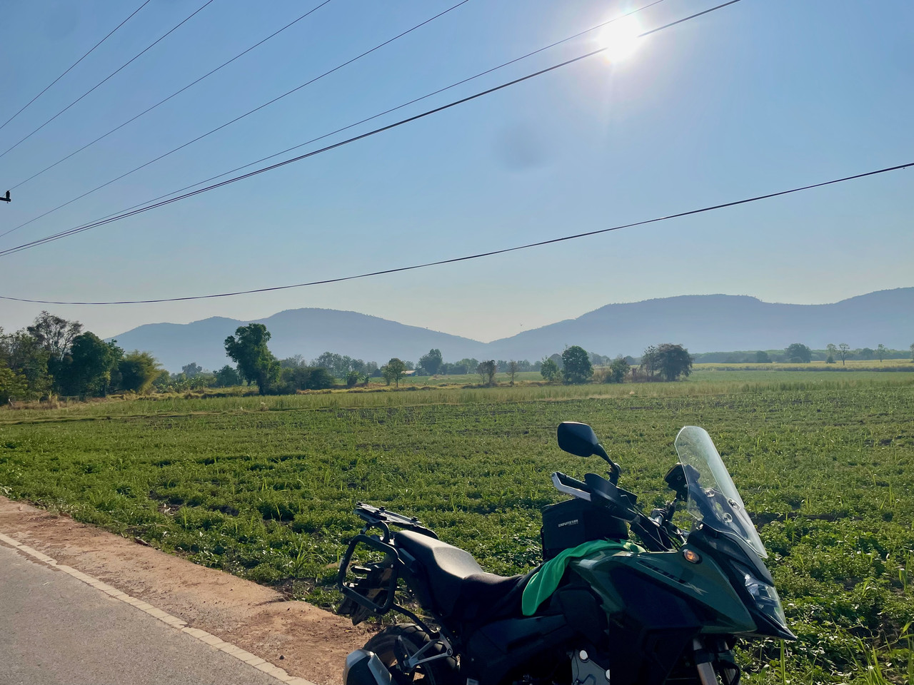
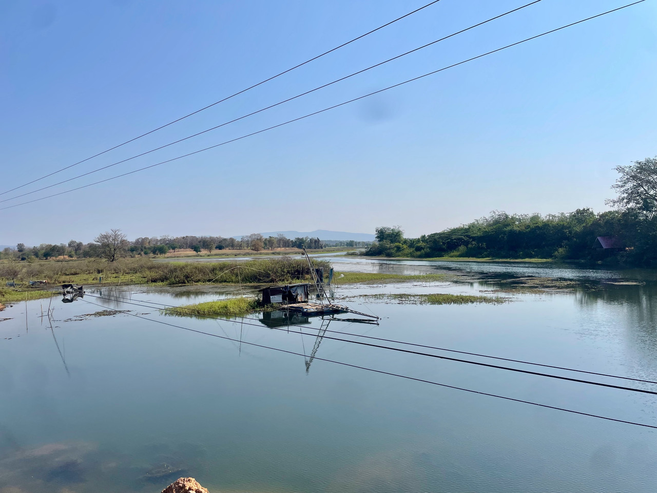
On the 3001, Mueang Chaiyaphum District, Chaiyaphum, Thailand
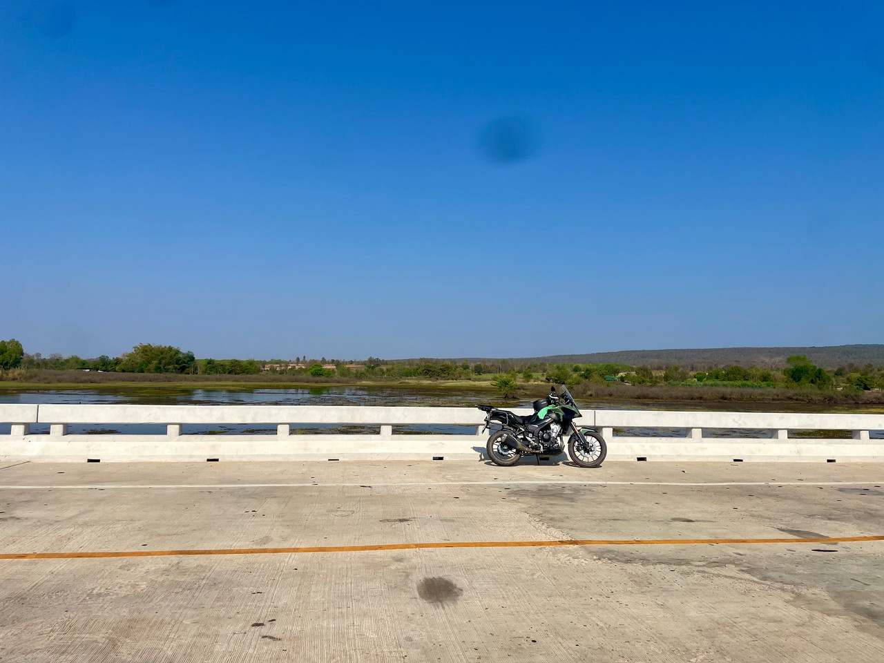
Heading towards the 201
Once on the 201 it was a nice blast home and time to put the A/C on
The trousers worked well, I could feel the air flow passing through
A good ride out with 209km done
Wayne
It’s been a while since I have been out on the bike due to me going back to work and I had a lot of stuff to do at home so there was no time for a few days out. I had to make do with a day trip.
I also wanted to try out my new Knox MEN’S URBANE PRO® TROUSERS MK2 to see how they faired in the hot weather.
The issue was where to go? I have done the decent bigger roads in my local area so I needed to find roads which I had not been on and not seen too long on roads I have previously been on.
I had worked out a rough route putting in some waypoints then it was a make it up as I went along and see what happens.
It wasn’t too bad a ride and time spent on the roads I had done previously was kept to a minimum.
There was a road out of the village which I had not taken before and I wanted to see where it went, I am not sure if the road had a name as I cannot find one
Just outside the village on a un-named road
So, through the village and a right turn, 4k’s out of the village the road went from being good to then shale and stone although I was still down as a minor road. But it wasn’t hard going. I did end up being chased by 3 dogs who thought it would be good to give me a run for my money. Fortunately I had seen them and was ready, they kept up the chase for a good few hundred meters, I was happy they got tired before my bike did!
Just before I got chased by the dogs
Ban Duea area, Chaiyaphum, Thailand
The harvested Sugar Cane Crop, Ban Duea, Chaiyaphum, Thailand
The view wasn't the best but passable, on the 2159, Phu Lan Kha National Park, Nong Bua Daeng District, Chaiyaphum, Thailand
On the 3001, Mueang Chaiyaphum District, Chaiyaphum, Thailand
Heading towards the 201
Once on the 201 it was a nice blast home and time to put the A/C on
The trousers worked well, I could feel the air flow passing through
A good ride out with 209km done
Wayne
Attachments
I bet that feels fantastic to be back out on the bike again.
I just noticed you don't have any extra driving - spotlights on the bike?
I just noticed you don't have any extra driving - spotlights on the bike?