
Ban Jabo and Hilltribe territory. A short two-day ride taking in some of the most breathtaking Hilltribe areas of Northern Thailand.
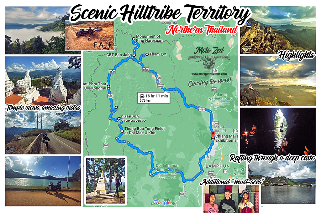
Day 1 – 294 km
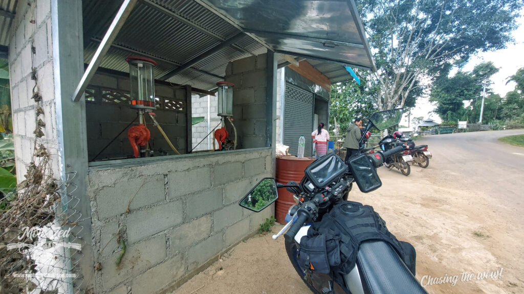
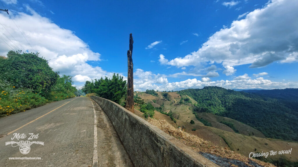
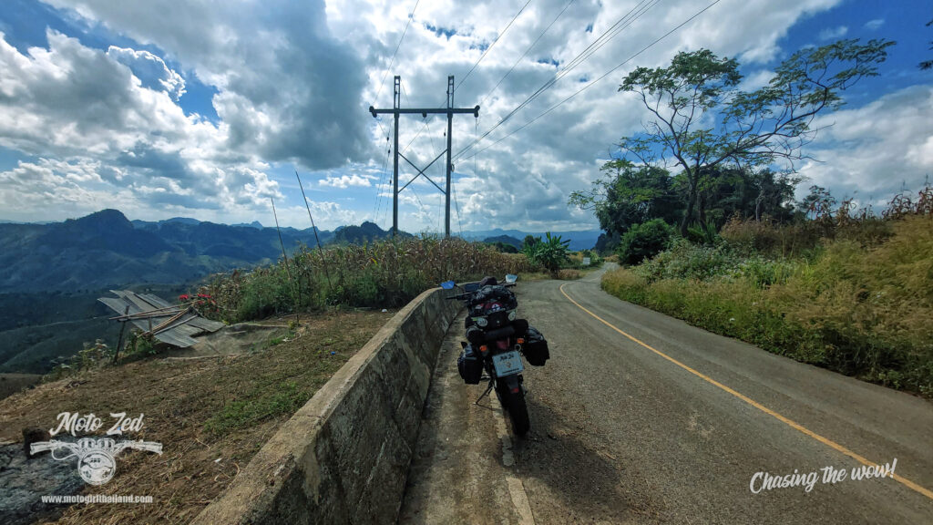
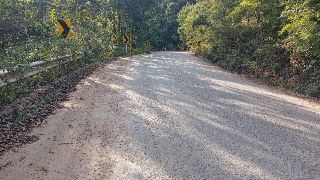
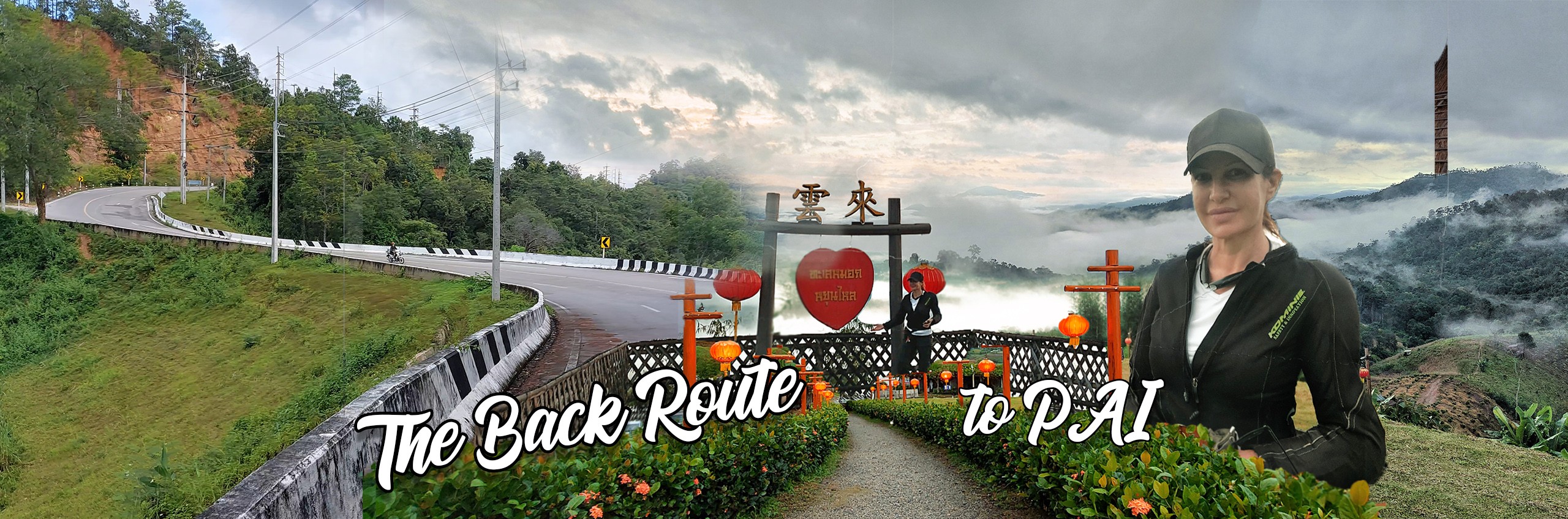
The R1095. Road condition: Perfect!
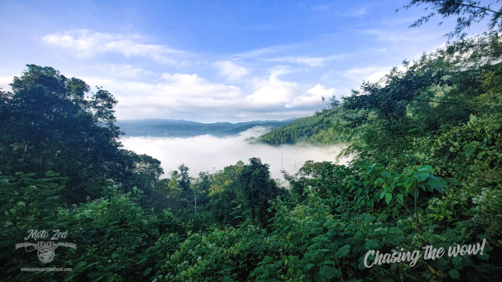
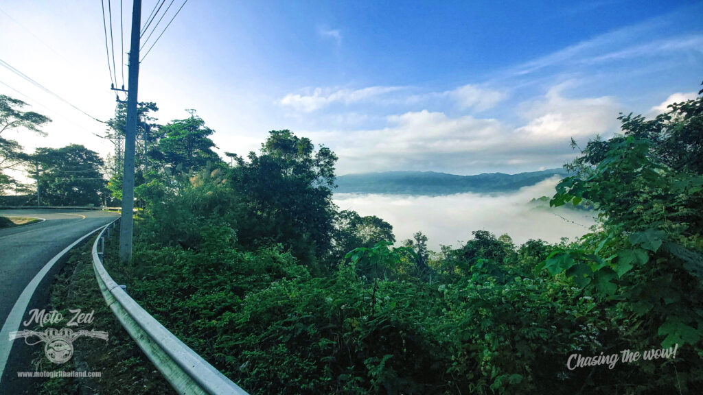
An early morning start resulted in quiet beautiful foggy mountain views on the popular R1095 route to Pai. This route boasts 762 curves that snake around the scenic Thailand forestry and jungle.
| 
|
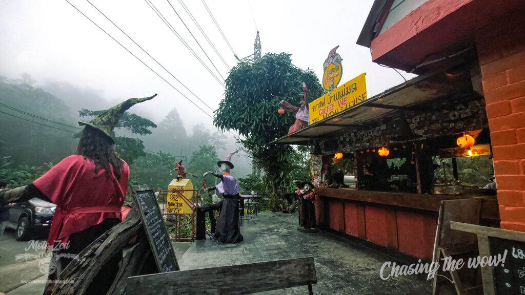
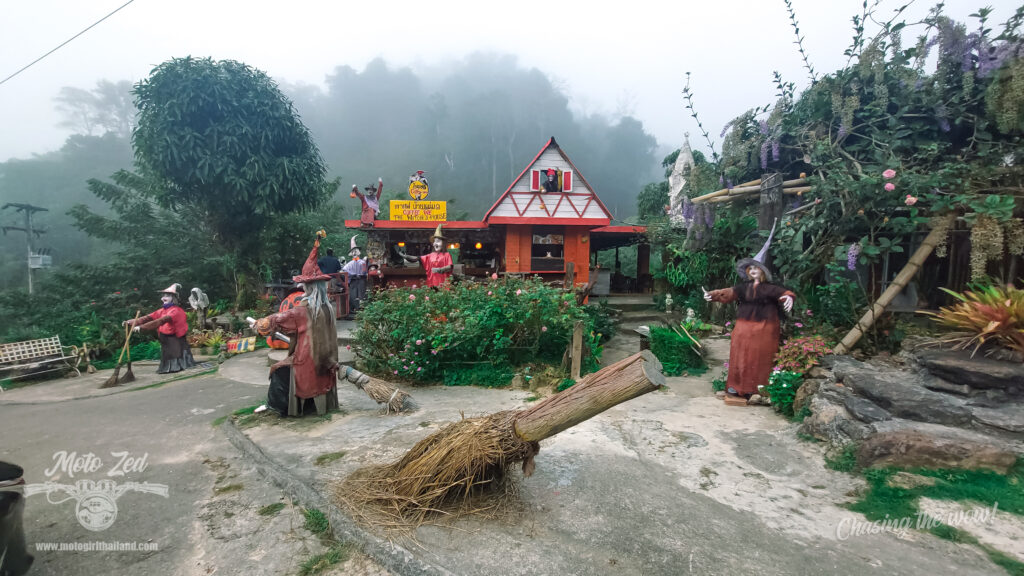
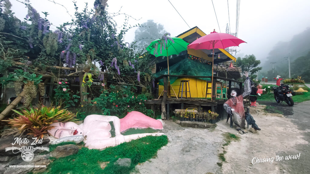
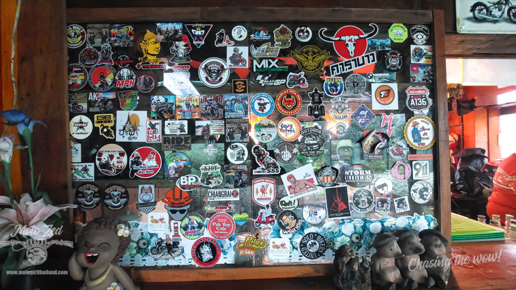
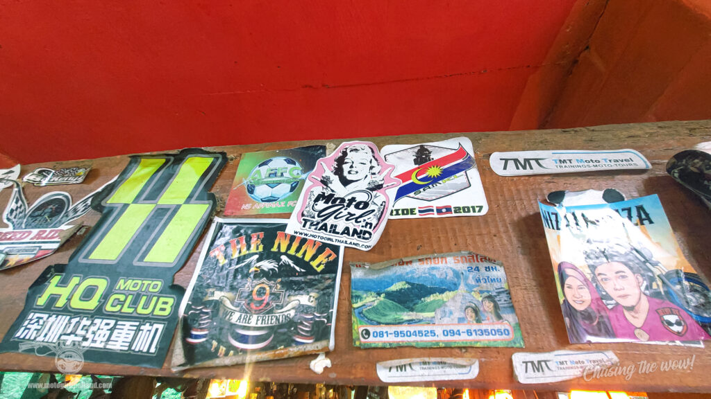
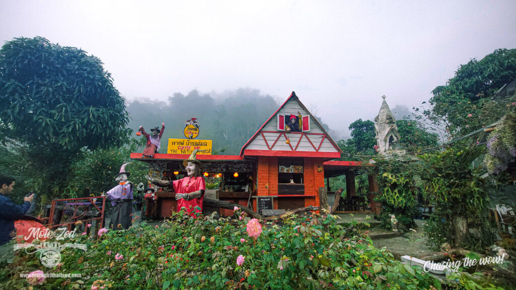
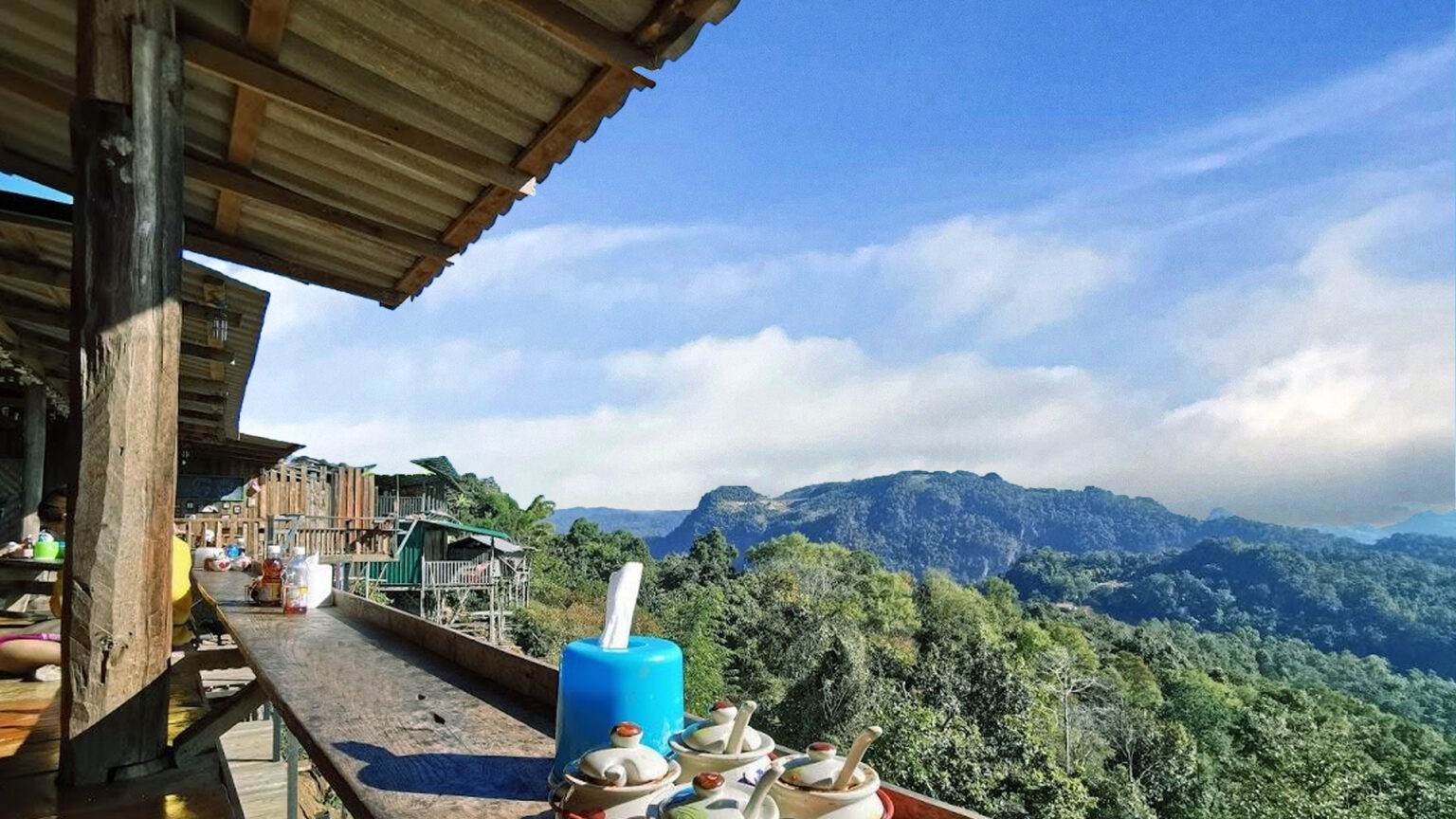
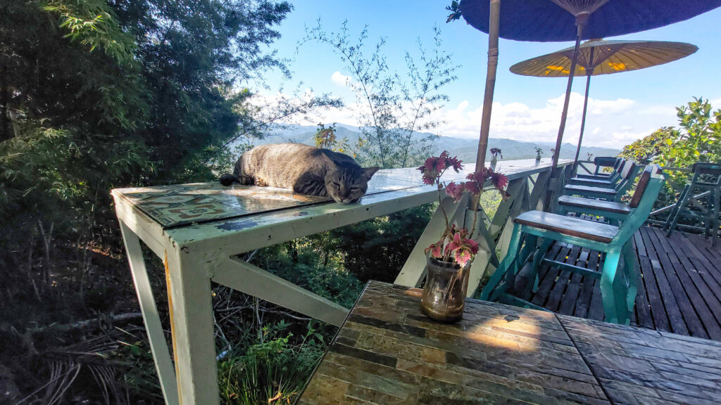
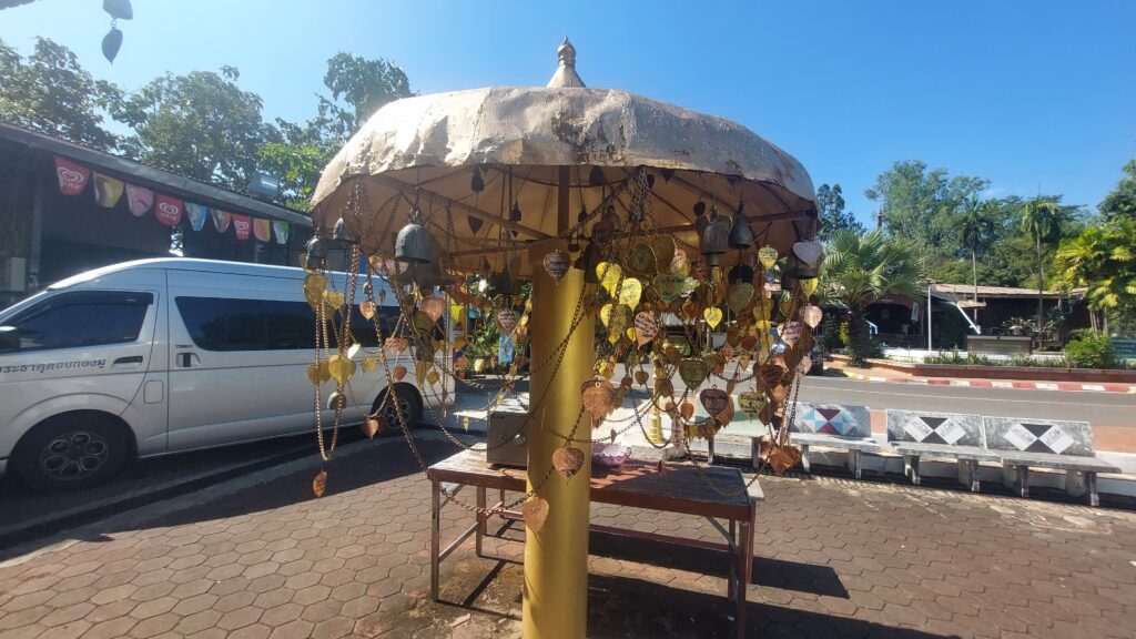
Coffee stop: Coffee We (Witches Hut)
| 
| 
|
| 
| 
|
| 
|
Next stop: Pai
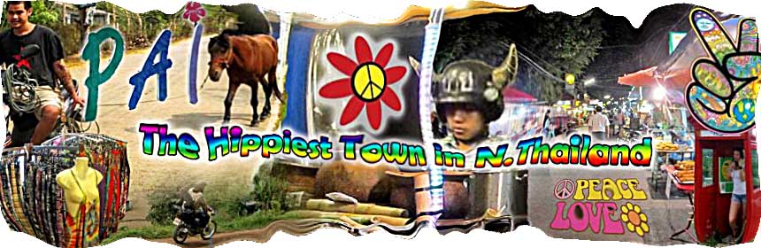
The glorious mist continued for the rest of the route and upon reaching Pai it was a cool grey morning. No sun in sight, but it was still pretty early. Pai tourism looked to be in full flow. Lots of tourists about wearing summer clothing, making me feel a bit pathetic for shivering. After fuelling up I took a quick ride through the town and stopped in at Cafe d’ tist for breakfast (my favorite cafe, Cake go “O”, unfortunately, wasn’t open until 10 am). Not too much appealed to me on the Cafe d’tist menu, if I’m honest, (and the staff were surly), so I just ordered coffee and toast with peanut butter. Not too exciting ^^. I ended up eating only one slice and saved the other slice (slathered with the remaining peanut butter), which happily ended up in a dog’s tummy later on down the road.
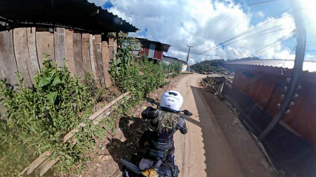
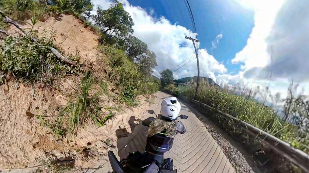
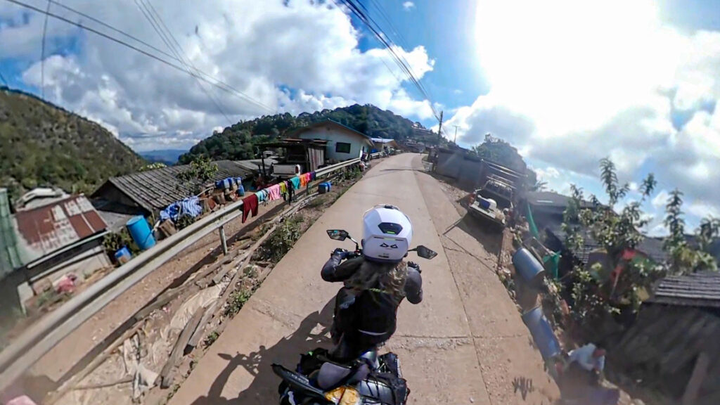
Next stop: Ban Jabo
(Road condition: concrete and steep in sections)

Ban Jabo
Ban Jabo is a Lahu hill tribe mountain village, close to Myanmar. Visitors are drawn to the village due to the crisp cool climate, rustic atmosphere, and the famed ก๋วยเตี๋ยวห้อยขาบ้านจ่าโบ่ noodle soup house which offers great noodle dishes and an incredible view.
About Ban Jabo
50 years ago the villagers used to reside in Ban Huai Yao, a pretty valley with fertile land and a stream- roughly a kilometer from Ban Jabo. However, after many villagers died from malaria they moved to the higher ground of Ban Jabo, where the winds were strong enough to blow the mosquitos away. The village was then named Ban Jabo (House of Jabo) after the village headsman.
This village, like many hill tribe zones, was previously known to cultivate Opium Poppies for a living. That is until 40 years ago, when a Thai-German Highland Development Project plus aid from the Thai Royal Project, helped to develop the community. The development project brought in knowledge about highland farming, which gradually changed the landscape from poppies to cash crops such as highland rice.
Later, a road was constructed, plus other basic facilities (i.e. electricity and a water system) were installed. Important amenities followed, such as a school and finally, the villagers were provided with official ID cards. Around 15 years ago, with support from the Thailand Community Based Tourism Institute, Ban Jabo kicked off its tourism project, offering Homestays, trekking, farming experiences, and demonstrations of traditional ways of life.
More info on the Lahu Hilltribe
Homestay Accommodation
As expected, the homestay accommodation is a simple setup. Simple but clean and comfortable enough for a good night’s sleep (as long as your neighbours are quiet. Thankfully I remembered to pack earplugs. I recommend doing the same. Everyone was asleep by around 10 pm though).

| 
| 
|
โฮมสเตย์ บ้านนะลา Homestay
Prices can vary from Homestay to Homestay, depending on the viewpoint and size of the bungalow.
I stayed in a small bungalow which did not offer the best view, but I did not book ahead, so was lucky to get a place to stay.
I recommend booking ahead to ensure you get a room. I almost didn’t!
Location: โฮมสเตย์ บ้านนะลา
Contact: +66830738302
Price: 400 Baht
Amenities: Bed, blankets, towels, fan, basic en-suite bathroom, hot shower, electricity.

| 
| 
|

| 
| 
|
I dropped off most of my gear in the room and then headed off on my bike toward Myanmar.
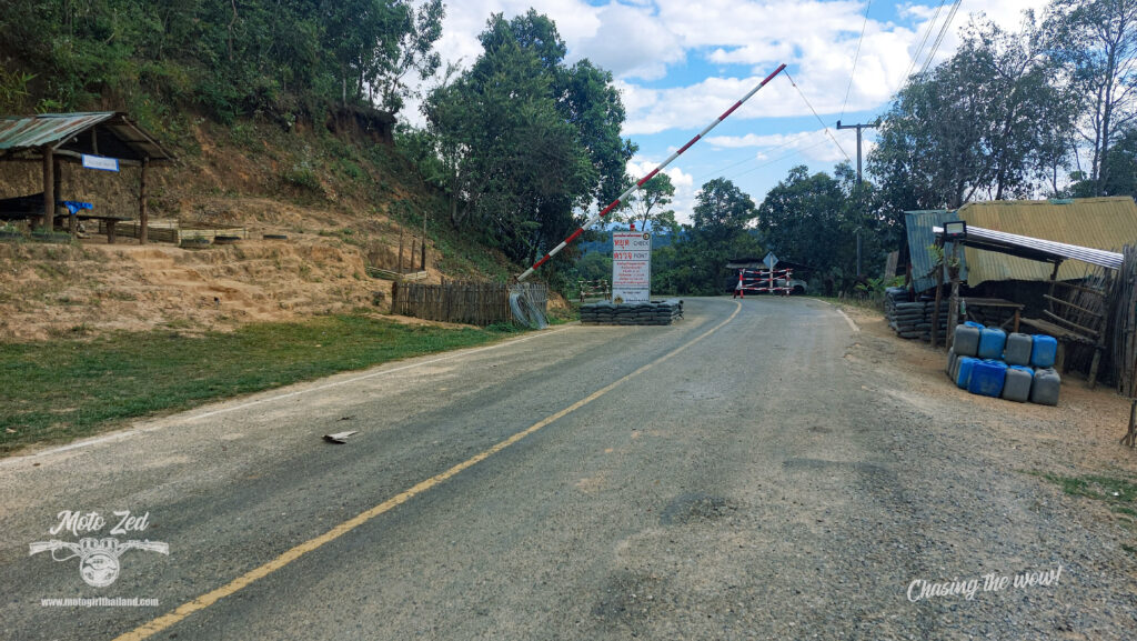
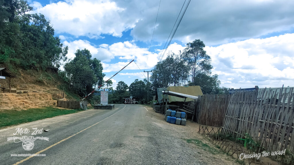
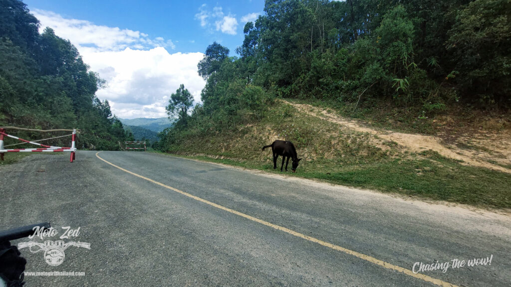
Route to Loi Tai Leng, Myanmar
Road Condition: Starts off ok (concrete), but turns to dirt later
For around 20 km the route to Loi Tai Leng border is concrete and mostly fine.
The route passes through scenic small villages, beautiful viewpoints and lastly, a sleepy checkpoint with horses, where the sleepy guards awoke surprised to see me.
| 
| 
|
| 
| 
|
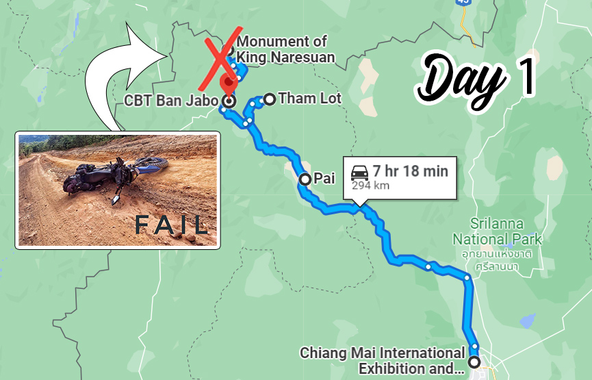
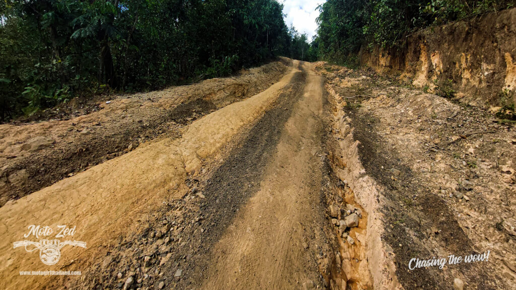
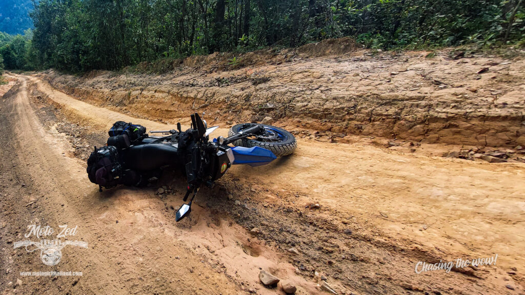
The last section of dirt to the Monument of King Naresuan
I was really excited about seeing this outpost and monument, which has around 8 km or so dirt to ride in order to reach it. The route started out simple enough, but then I made a stupid mistake and dropped my bike. I was maybe only halfway to the monument, possibly less in fact, but my courage was shot. A year ago I had a bad fall on compacted clay and my ankle has only just fully recovered, so I lost my nerve. I made the decision to turn back and execute plan B. Felt a little deflated, but no matter, moving on…
| 
|
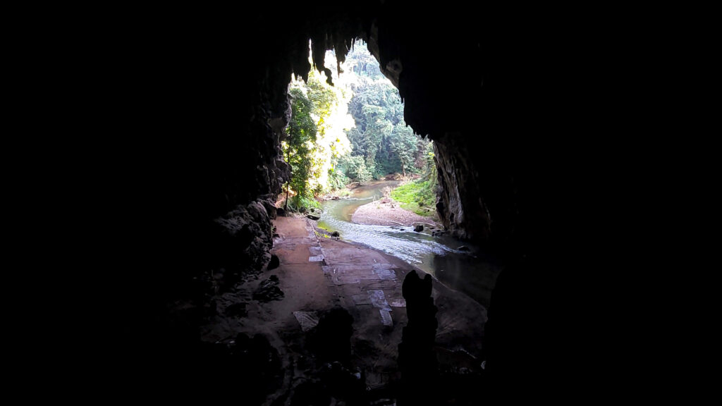
Plan B: Tham Lod Cave
Decided to head Tham Lod Cave, 45 km away. I knew it would take my mind off of the deflated feeling as it is such a beautiful cave.

Location: ถ้ำน้ำลอด/Tham (Nam) Lod
Opening hours: 9 am – 6 pm
Price: 450 Baht for the guide and all three caves and river raft (shorter options are available for less cost)
This price is for up to 3 people. No discount if going alone.
*NOTE* It is still expected to give a tip to the raftsman and guide, so budget in a tip as well.
About
Tham Lod Cave is a huge natural limestone cave system featuring a myriad of geological formations and columns which reach over 20 meters high. The length of the cave spans 1600 meters and contains a large number of Swifts and bats. An additional main attraction is the 300-metre freshwater stream which runs through the middle of the cave, which visitors can experience via a bamboo raft.
Stone Age drawings and coffins contained within the cave were discovered in the 1960s by American anthropologist and archaeologist, Chester Gorman, who surmised that the cave had been occupied by the Hoabinhian hunting tribe during the pre-historic era, between 9000 BC and 5500 BC. The Hoabinhians were a community of hunter-gatherers, who used primitive tools such as short axes and hammers made from bone. Their diet consisted of leguminous plants and a number of other fruits and vegetables, such as betel, and almonds.
Stone Age drawings and coffins contained within the cave were discovered in the 1960s by American anthropologist and archaeologist, Chester Gorman, who surmised that the cave had been occupied by the Hoabinhian hunting tribe during the pre-historic era, between 9000 BC and 5500 BC. The Hoabinhians were a community of hunter-gatherers, who used primitive tools such as short axes and hammers made from bone. Their diet consisted of leguminous plants and a number of other fruits and vegetables, such as betel, and almonds.
Additional info
Allow at least one hour if you book a guide for all three caves. There are also a lot of steep wooden steps and uneven ground in the cave, so a fairly decent level of fitness is required. As an aside, my guide was 82 years old and fit as a fiddle!
*Top Tip*
If you wait until 5-6 pm you will see Swifts and bats fly out of the cave.
A quick bite to eat at Tham Lod and back to Ban Jabo
| 
|
Tham Lod was closing up by the time I exited the cave, but the food stalls were still serving. I ordered myself some food and then headed back to Ban Jabo. I wanted to get back to Ban Jabo before sunset, so was in a bit of a rush. However, when I reached Pang Mapha it was gridlocked due to a huge procession. A policeman held me (and others) back for a fairly long time. I confess, that despite it looking beautiful, I just wanted to get back and take a shower. I now wish I had just pulled over to the side and taken some photos and videos of the beautiful parade, but I had run out of steam. I waited patiently and finally, traffic was allowed to continue.
| I arrived in Ban Jabo before sunset and rested early in anticipation of an early morning climb the next day. The mozzies were out, but thankfully I had repellent on me. As an aside, I was sent this repellent by Thai Pure Naturals and they offer a 10% discount to anyone using the code “MOTOGIRL22″. You can read a bit more about the insect repellent products HERE | 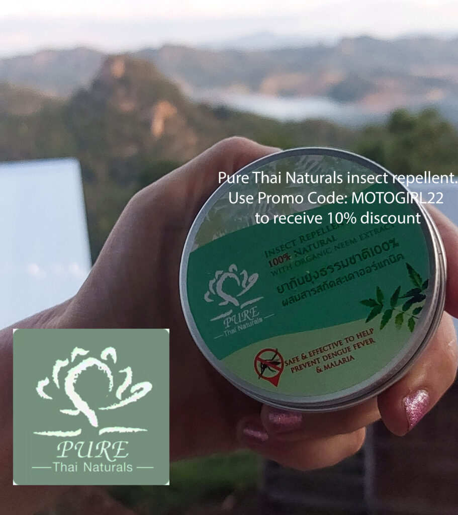
|
Day 2 – 386 km

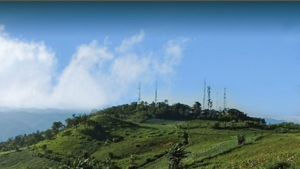
First stop: Sunrise Viewpoint at Ban Jabo
I was up before sunrise and headed off on my bike to the sunrise viewpoint. A couple of vehicles were already parked up when I arrived at the base and I noticed one couple being guided up by a local Lahu lady. Lucky! I decided to tag along behind. Part of the way up I was slightly accosted by two local ladies and asked to pay 100 Baht. Curious, I asked why, but got no explanation. Regardless, I paid and continued on up. The route up was pretty steep, with sharp jagged limestone rock, and a little treacherous in the pitch black. Thankfully I had a decent enough torch on me to help keep my footing.
Once at the peak, I recommend screwing your courage to the sticking place and not looking down too much, if you have a touch of vertigo, like me. The peak was a little busy too, with everyone jostling for a position, but the vibe was friendly. On the plus side, the busy aspect did mean I was able to get some people to take a couple of photos of me. There was a nice comradery of everyone appreciating the beautiful view. There wasn’t quite the sea of fog I anticipated due to slight rain, but it was still spectacular.

| 
| 
|

| 
| 
|

| 
| 
|

| 
| 
|

| 
| 
|
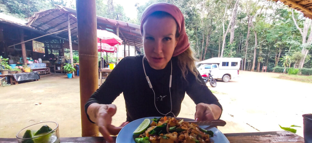
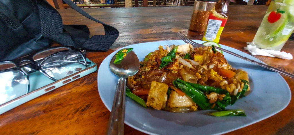
After the viewpoint, I headed back to the homestay to pack up. Luckily I was just in time because the heavens opened up and it began pouring. It didn’t last too long though, so I said my goodbyes to my Lahu host and stopped in at Ban Jabo Noodle Soup House to try out their famous 30 Baht noodles. Tasty, but seeing as I don’t eat meat I didn’t add the soup, which made the noodles a little on the dry side. Whilst eating I spotted a large group of foreign offroaders and had a slight pang of envy bout the sights they will be getting to see on their bikes.
(Later, when I arrived back home, I decided to book myself a couple of refresher offroad riding days courses at the local riding park)

Next: Ban Jabo to Mae Hong Son
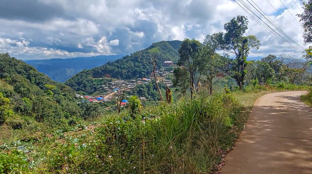
The R1095 stretch between Ban Jabo and Mae Hong Son was, as per usual, absolutely glorious. There is something really beautiful about that section of road. It isn’t a challenging road or a road that has unexpected surprises, so it puts you in a kind of meditative trans. At least for me. Almost as if the road is pulling me along like I am on a conveyor belt, rather than me actually riding it. I had one quick stop at the Pang Mapha viewpoint and then headed off to have coffee and a visit to Wat Phra That Doi Kongmu, in Mae Hong Son.
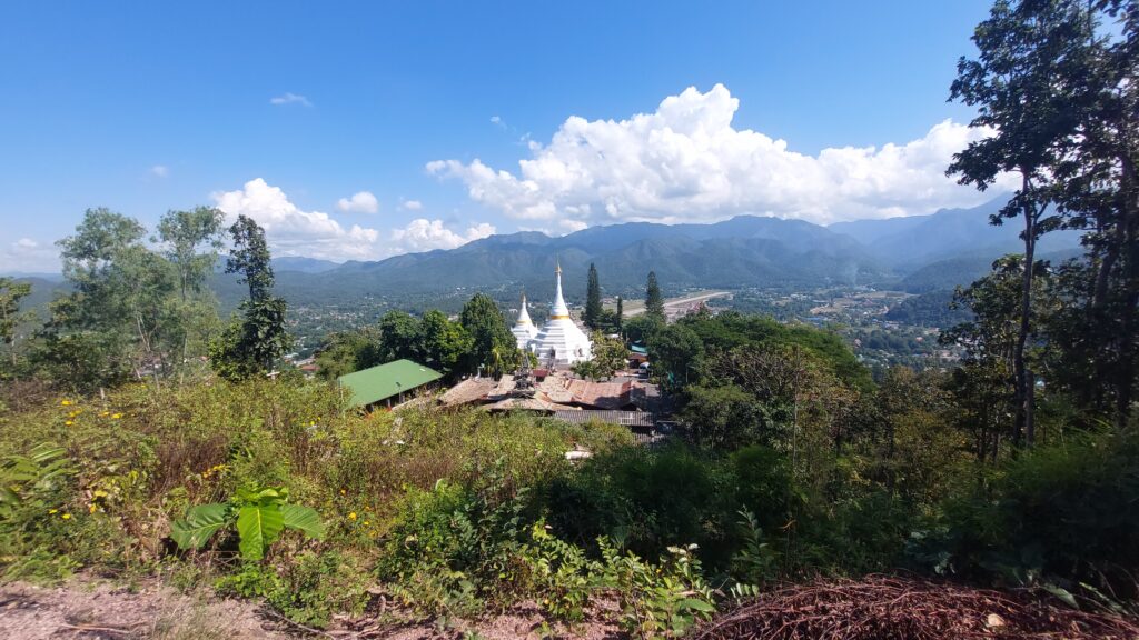
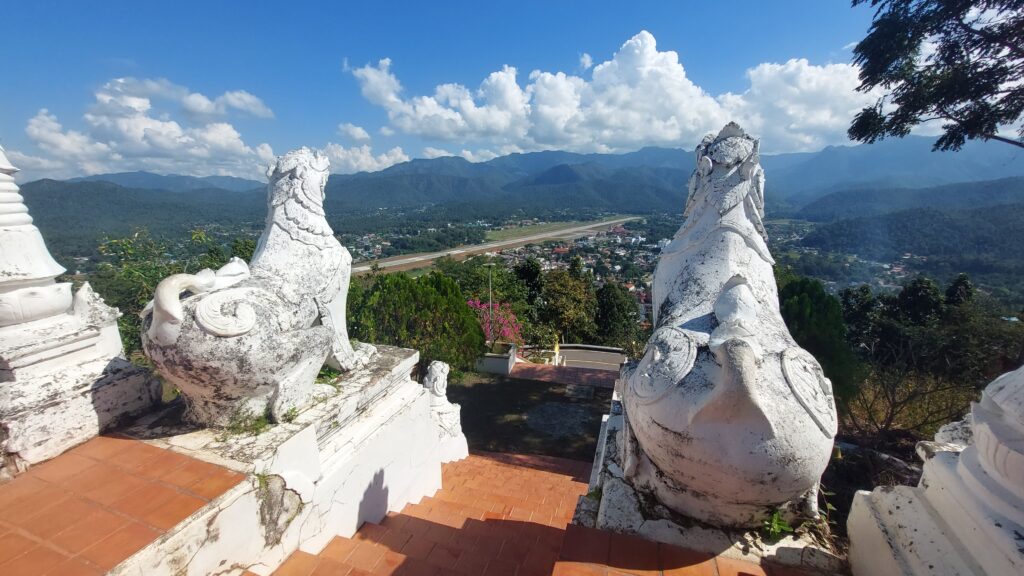
Next: Wat Doi Kongmu & Before Sunset Coffee
My first stop inside Wat Doi Kongmu was at Before Sunset Coffee, situated within the temple grounds. Bought a refreshing coffee and a bit of cat time.
| 
|
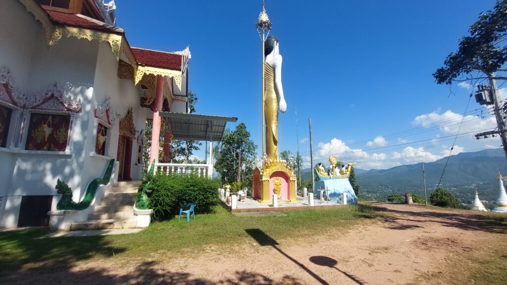
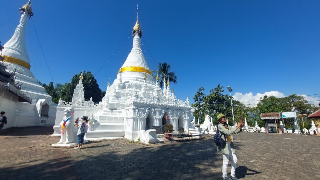
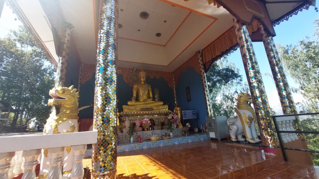
Wat Phra That Doi Kongmu
Wat Doi Kongmu is a stunning Burmese-inspired temple that stands 1,300 m (4,265 ft) above sea level. Two large stupas are located within the temple. The largest enshrines the relics of Maudgalyayanan (one of Buddha’s closest disciples), and was built in 1860 by a wealthy Tai Yai merchant named Chong Tong Su. The smaller stupa was built in 1872 by Phraya Singhanatracha, who was the first governor of Mae Hong Son. This beautiful temple also offers stunning panoramic views.
| 
| 
|
| 
| 
|
The GT.Rider Memorial Chedi
Wat Doi Kongmu is a significant motorcycle rider temple due to the annual GT.Rider ride event which takes place here. The temple grounds display the GT.Rider Memorial Chedi, which commemorates fallen riders (which you can read about HERE on the GT.Rider forum).
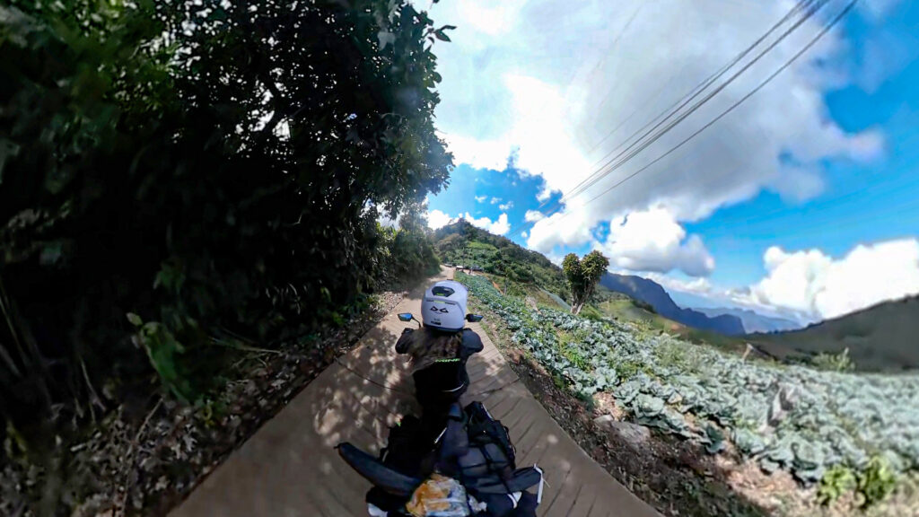
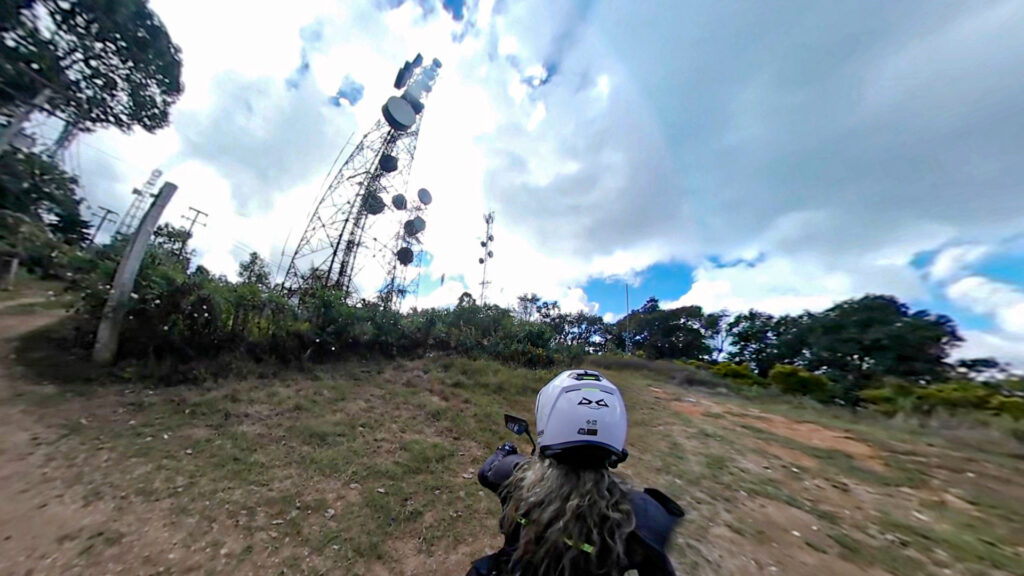
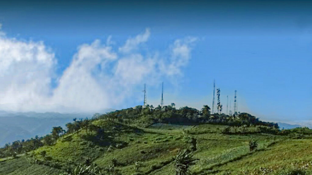
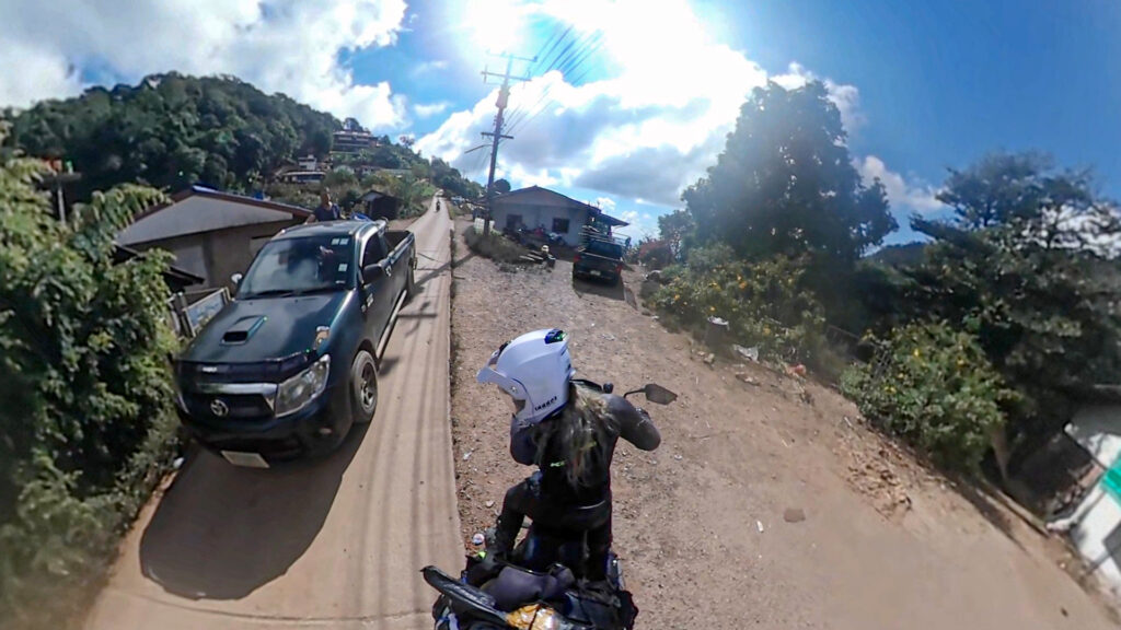
Next Stop: Meo Microwave Village
Road condition: concrete and narrow to the village
Continuing the theme of visiting some of the amazing ethnic minorities in the north, I headed towards the Hmong Tribal village known as Meo Microwave. The ride up to this village is along a narrow mountain route and trucks tend to high-tail past, so I was kept on my toes whilst riding up. Approximately 600 Hmong occupy the village and live their lives in fairly simple traditional ways. Mostly the area is farming territory and a variety of plants are grown, such as carrots, cabbages, and tomatoes.
| 
| 
|
| 
| 
|
| 
| 
|
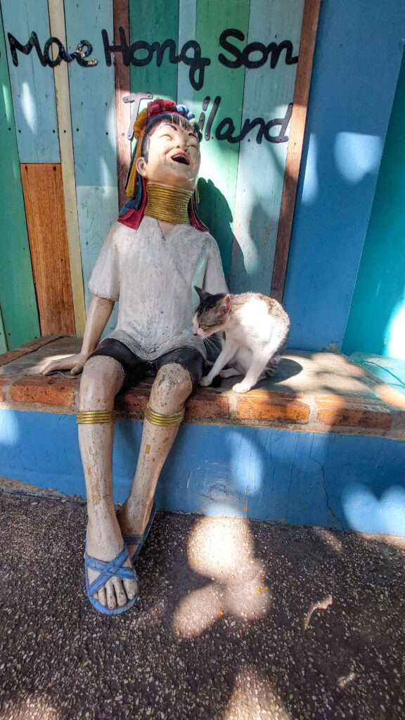
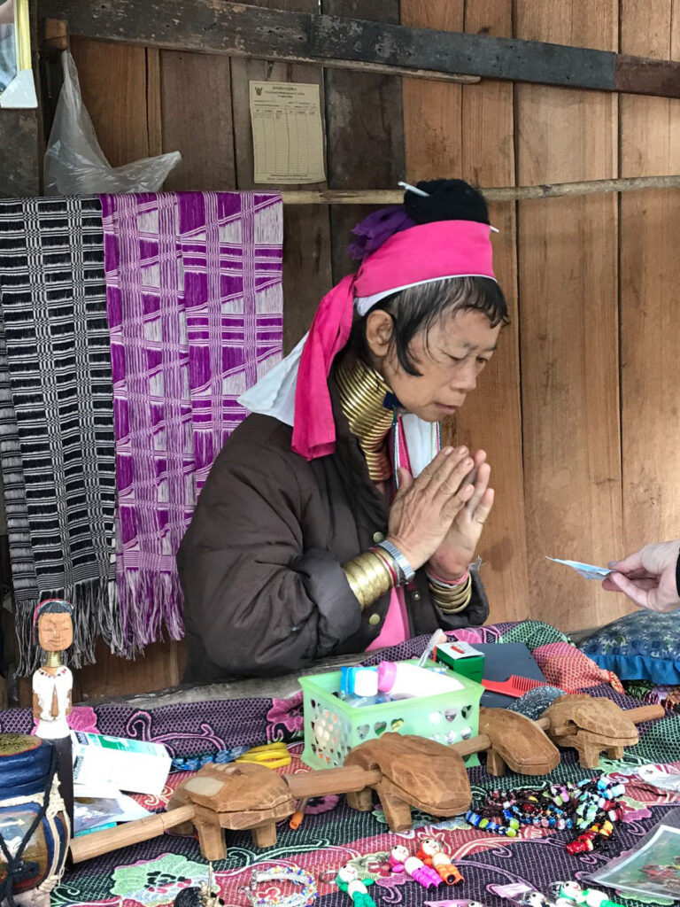
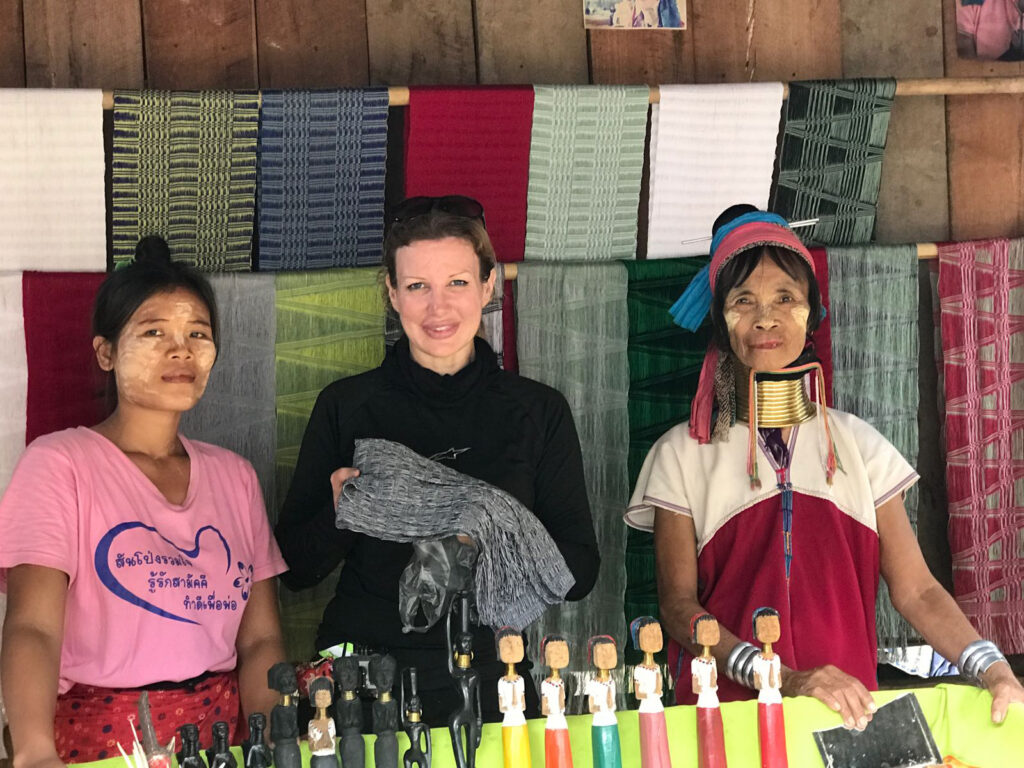
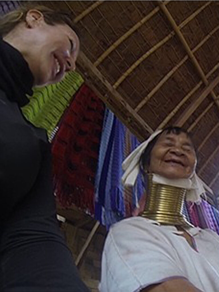
Around this area too are Kayan Hilltibe communities (such as the “long neck” tribe – see below), which I have visited on other occasions.
| 
| 
|
Next: The R4009
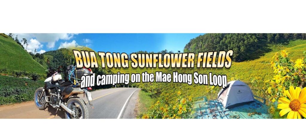
The R4009 is (in my opinion) one of the most exhilarating routes to ride in northern Thailand. Unwavering concentration is required for riding this super steep tight switchback route that leads out to Ban Nong Khiaw Reservoir, Mae Surin National Park and the famous Sunflower fields at Doi Mae U Kho.
When I reached Doi Mae U Kho the flowering Mexican Sunflowers, as expected, were already gone (they bloom in November period and it was already December). Still a lovely route though and unlike November, nice and quiet. The video below shows how the area normally looks during November when the flowers are in full bloom.
When I reached Doi Mae U Kho the flowering Mexican Sunflowers, as expected, were already gone (they bloom in November period and it was already December). Still a lovely route though and unlike November, nice and quiet. The video below shows how the area normally looks during November when the flowers are in full bloom.
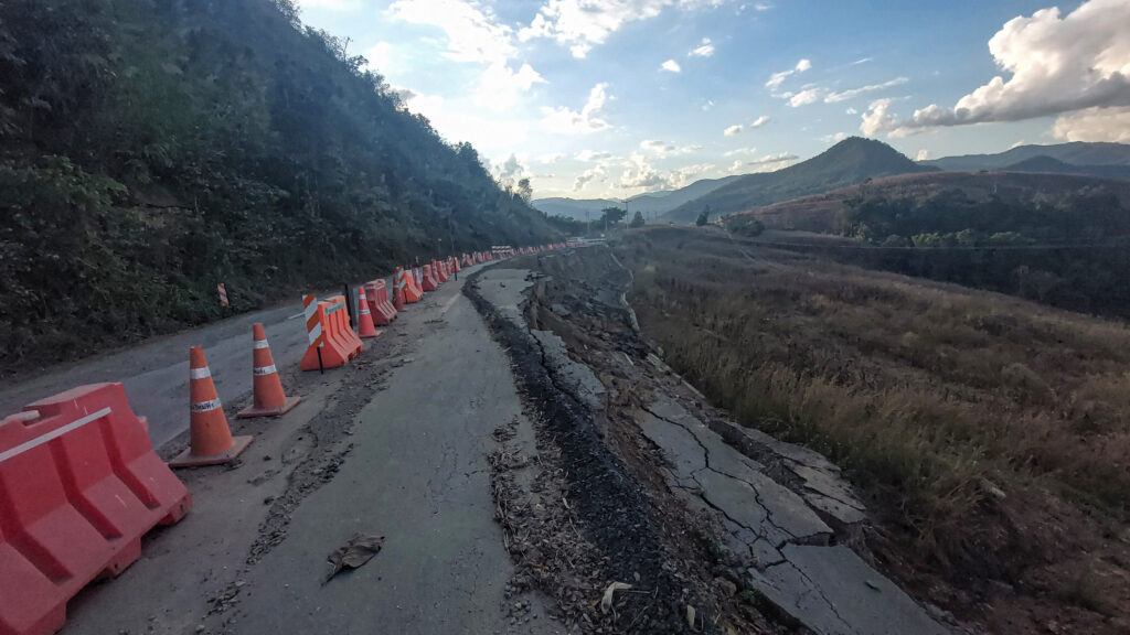
Last leg: Homeward bound back to Chiang Mai
Road condition: smooth tarmac, although Mae Chaem area is still undergoing resurfacing in sections.
Initially, I didn’t intend to ride this long leg back to Chiang Mai. I had planned to camp out and then head back the next day. However, I sometimes just get a kind of homing pigeon feeling when riding out, and suddenly want to go home after all. So, I decided to ride the last 220 km or so back to Chiang Mai.
| 
| 
|
.
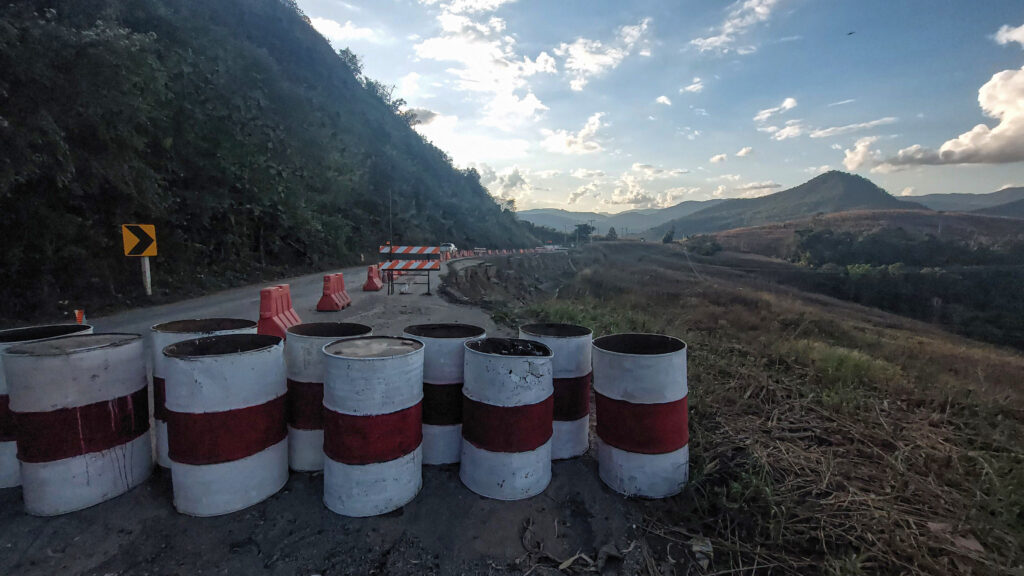
The Mae Chaem route was close to being completed (still undergoing a lengthy resurfacing), but a few sections of gravel made it a bit of a dusty ride back. Arrived back in the dark, but was good to be home to my lazy little cat after a fun two-day ride out.
The Mae Chaem route was close to being completed (still undergoing a lengthy resurfacing), but a few sections of gravel made it a bit of a dusty ride back. Arrived back in the dark, but was good to be home to my lazy little cat after a fun two-day ride out.
Hope you enjoyed this trip report!
____________________________
Other attractions/guides/trip reports in this area
 |  | |
 |  |  |

