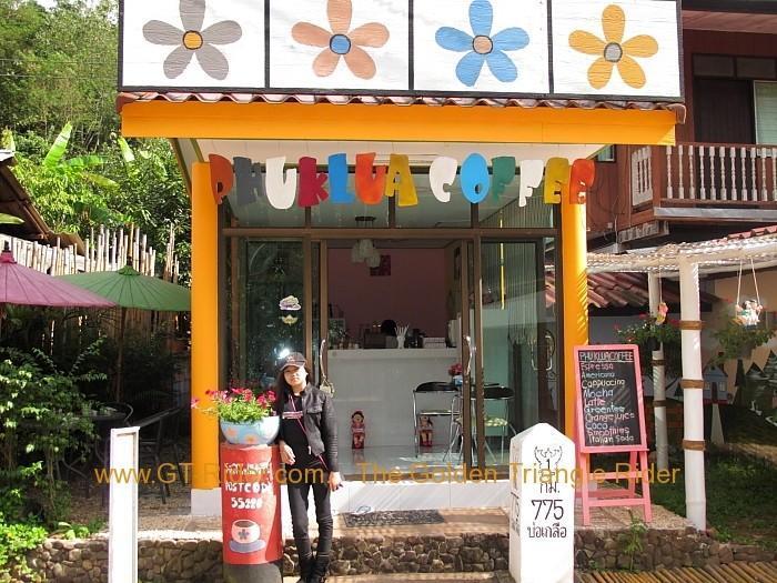
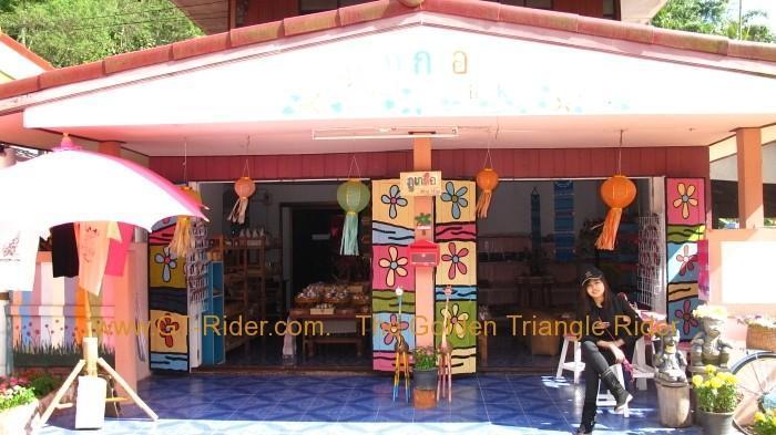
And here is the video of the road from this cafe down to Route 1081 in the valley. According to Google Maps, there are two main ways down:
1. The shortest route towards Wat Ben Wen. It's a mix of dirt, broken concrete crumbled into gravel-like pieces and uneven concrete slabs. It offers a nice view when going up, but there is nothing interesting on the way down.
2. The road heading south, parallel to Route 1081 but higher up in the mountains. It joins Route 1081 at the Ban Na Pong Checkpoint. This is the road from the video. It's a bumpy, partly dirt road, but definitely the most scenic one.
So Route 1081, a short break at the cafe, and the road back together make for a great day trip.
Find local businesses, view maps and get driving directions in Google Maps.

maps.app.goo.gl