
I thought I'd try some camping again as we are coming to the end of the rainy season.
This was to be a fairly long distance trip, so I packed chain spray & gasket sealant, as well as the full toolkit with spare Boyer ignition control unit and spare c
Thank you for using Golden Triangle Rider, we hope you are enjoying the content.
This was to be a fairly long distance trip, so I packed chain spray & gasket sealant, as well as the full toolkit with spare Boyer ignition control unit and spare c
Thank you for using Golden Triangle Rider, we hope you are enjoying the content.
You have used up your 5 free weekly views of Trip Reports and Recommendations.
To continue getting full access to the thousands of informative Tips and Trip Reports on GTR please register and upgrade your status on Golden Triangle Rider.
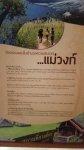
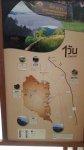
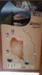
Attachments
Last edited:
